
Application Description
Navionics® Boating is a must-have app for anyone who loves spending time on the water, whether you're a boater, angler, or sailor. This powerful tool enhances your boating experience with its up-to-date charts and a suite of features designed to make your time on the water both easier and more enjoyable. And the best part? You can try it out for free for a limited time. With access to world-class Navionics charts, you'll have detailed information at your fingertips, covering both above and below the sea. The app also includes SonarChart HD bathymetry maps, which are perfect for studying the bottom contours. But it's not just about the charts; Navionics® Boating boasts a vibrant and supportive community where you can share experiences and learn from other boaters. You can even stay connected with friends by sharing your current position, routes, and more. The app's compatibility with external devices adds even more functionality, such as SonarChart Live Mapping and the ability to view maritime traffic. With daily updates, you're always equipped with the most accurate and reliable information available.
Features of Navionics® Boating:
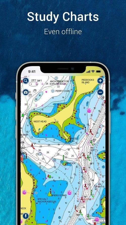
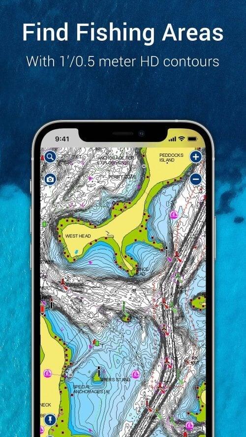
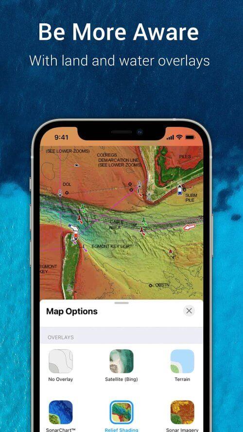
World-class Navionics charts: The app provides access to reliable and up-to-date Navionics charts, including overlays, nautical charts, and SonarChart HD bathymetry maps. These charts are essential for safe and efficient navigation, offering detailed information that boaters, anglers, and sailors need.
Active and helpful community: Navionics® Boating features a thriving community of boaters who share local knowledge, attractions, navigation aids, and expert advice. Users can connect with friends and fellow boaters by sharing their current position, tracks, routes, and markers, fostering a collaborative environment among water enthusiasts.
External device-friendly for more features: The app seamlessly integrates with chartplotters, allowing users to transfer routes and markers between their chartplotter and the app. With SonarChart Live Mapping, you can create real-time maps while navigating. Additionally, when connected to a suitable AIS receiver via Wi-Fi, you can view nearby maritime traffic and receive alerts about potential collisions.
Daily updates: The app ensures that users always have the latest information with daily updates. This includes changes to bottom topography, navigation aids, and maritime services, ensuring a safe and enjoyable boating experience with accurate and up-to-date data.
Conclusion:
Navionics® Boating is an indispensable tool for boaters, anglers, and sailors. Its world-class Navionics charts offer reliable and comprehensive information for navigating both above and below the sea. The app's active and supportive community connects users with fellow water enthusiasts, allowing them to share expertise and discover local attractions. Compatibility with external devices, such as chartplotters and AIS receivers, enhances the boating experience by providing additional features. With daily updates, users are always equipped with the latest information, ensuring safety and enjoyment on the water. Download Navionics® Boating now to make your boating adventures easier and more enjoyable.
Navionics® Boating Screenshots
Reviews
Post Comments
Trending Games
Trending apps


Topics
More
Explore the World of Casino Games
Personalize Your Android: Top Apps for Customization
Top Travel Planning Applications
Exciting Action Packed Games for Android
Unique Wallpaper Apps for Every Style
Top Productivity Apps to Streamline Your Workflow
Personalize Your Android Experience with These Apps
Explore the World of Casino Adventure Games
Latest Articles
More


GTA 6 Set for Fall 2025 Release
May 28,2026
Black Myth: Wukong Latest Updates
May 26,2026
Interactive Book Reveals Your Home's Secrets
May 26,2026